Nebraska Elections Geospatial Dataset
Early Research Project • Gerrymandering Research
#Research #Python #GeoPandas #GIS #Data Processing
Project Summary
As a part of Diana Davis' Districting Data REU, I spearheaded the creation of the first publicly available elections geospatial dataset for the state of Nebraska to support mathematical gerrymandering research. I led a team of undergraduates to gather, process, and analyze data using Python, GeoPandas, and GIS tools, and manually coordinated with district offices to obtain key information.
Responsibilities
▶ Led a team of undergraduates to collate and process precinct-level election and demographic data
▶ Integrated data from Nebraska state and county sources, the Census API, and the US Census Bureau
▶ Implemented data processing workflows using Python, NumPy, and GeoPandas to merge and align election results, demographic data, and geospatial boundaries
▶ Aggregated and disaggregated demographic data across different geographic levels using MGGG's proration software
Outcome
▶ Presented findings of gerrymandering research at the 2020 Joint Mathematics Meetings, earning an Honorable Mention at the MAA Undergraduate Poster Session
▶ The dataset has since become a critical resource for geospatial research on electoral districting and can be publicly available at Metric Geometry and Gerrymandering Group's GitHub page for research and on Districtr for interactive access
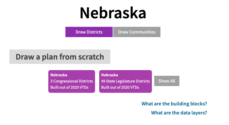
Initial description on Districtr
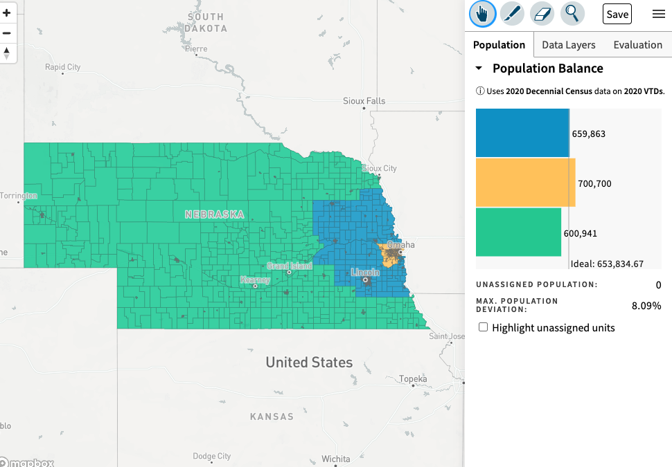
Example of districting plan that can be made with Districtr using the dataset I helped create